
I had Don Harper map out Buchanan Lake for me. He’s the big fish teacher who really knows how to eliminate dead water and puts you on water that has high probability of holding big bass.
So today, I show you how I take his maps, overlay it into GoogleEartch so I can create waypoints that can be imported into the Lowrance HDS Gen3. With this, I can have the Motorguide Xi5 trolling motor follow the path created in GoogleEarth so I can fish an area effectively. It was a day meant to be for exploration since Don provides 20 areas and detailed writeups on each area on how and when to fish it to get the big bass in your boat.
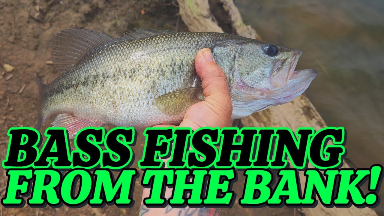
I only fished a few hours, and brought in my personal best of 8.5lbs and another at 5lbs. Don’s system works, you just have to be disciplined and follow it. You can find Don Harper on the Texas Fishing Forum. Ask him to map out your local lake for you. You won’t regret it. Enjoy the video


Come out get in my boat, no need to bring yours I’m ready to explore with you and Don , it’s almost August 2022
I have not worked with him besides discussions on Texas fishing forum.
That is great stuff! Have to love Don Harper for sharing his knowledge.
Great video. I didn't know about overlaying the screen shots in Google Earth… gonna have to figure that out!
And here I am stuck without a boat in Minnesota. Hope to have a new one soon but I may have to wimp out on any challenges. Unless smallmouths count double! No 8-pounders up here. I am excited for you and looking forward to when you have Don in the boat.
Some nice fish. Congratulations on the PB.
Wow, nice!!!
That was sick !!! Congrats on the PB man !
Cool! I know how to export/import the way points from Google Earth via gpx file but could you show how you created the route to follow with the trolling motor?
👍🏼up #1…. Brother those were some hogs….. cool way of using your electronics……
Really good idea